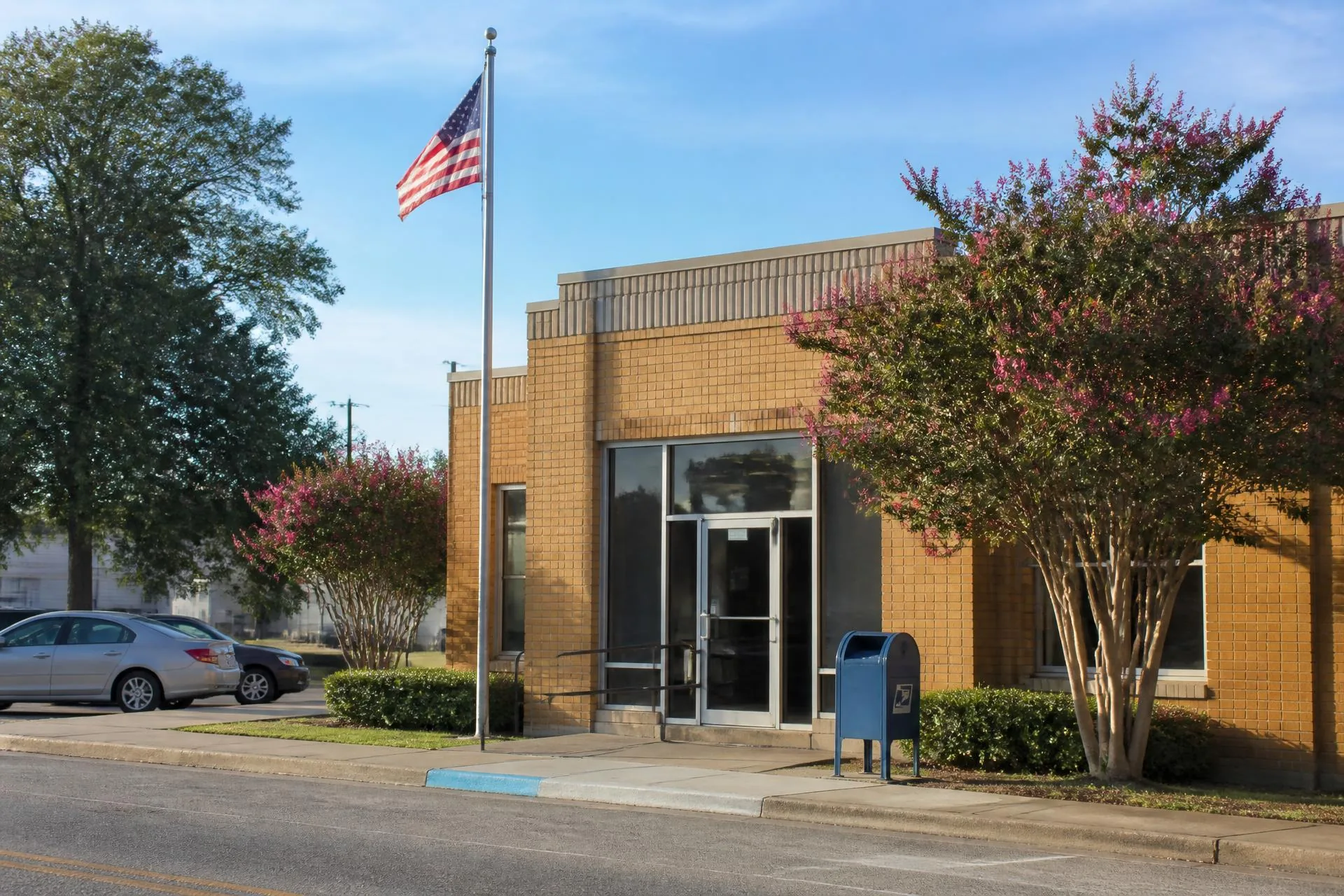
Union County, North Carolina
28079 — Indian Trail
Union County's volume market — newer construction at the corridor's most accessible price points, twenty minutes from everything.
Population
≈ 42,000 in the delivery area
Median Price
≈ $455K median sale price
County
Union County, North Carolina
28079 is where Union County's growth curve is steepest. Indian Trail absorbed the bulk of the county's population increase over two decades, and the ZIP reflects it: subdivision after subdivision of 2000s and 2010s construction, a maturing retail spine along US-74, and the county's most active resale volume by transaction count.
It is also the corridor's value proposition. A median near $455K buys square footage in 28079 that would cost twice as much fifteen minutes west in 28104 — the trade being smaller lots, less tree canopy, and a commute that depends heavily on US-74 conditions.
Buyers comparing 28079 against Waxhaw or Weddington are usually weighing three variables: price per square foot, school catchment, and whether the US-74 corridor commute is tolerable. The answer is often yes for households working east or northeast, and less often for those commuting to Ballantyne or south Charlotte.
What the 28079 delivery area covers
- ✦Town of Indian Trail
- ✦Unincorporated Union County north of US-74
- ✦Edges of Stallings and Wesley Chapel
Housing Stock
What 28079 buys.
- Production subdivisions
- The dominant stock — three to five bedroom builds from national and regional builders on sixth to quarter acre lots, generally $380K to $600K.
- Upper-tier enclaves
- Larger custom sections and pockets bordering Wesley Chapel push into the $700K to $1.2M range.
- Townhome and low-maintenance
- A growing attached-product segment near the US-74 retail corridor, typically $300K to $420K.
- Older acreage
- Pre-boom farmhouses and multi-acre parcels persist north of the town core and trade infrequently.
Schools
School assignment in 28079.
- Union County Public Schools; the Sun Valley and Porter Ridge attendance areas cover most of the ZIP.
- Sun Valley High and Porter Ridge High are large comprehensive high schools with broad athletics and CTE programs.
- Catchments in this ZIP have shifted more often than elsewhere in the county because of enrollment growth — verify by address before making an offer.
Commute distances.
| Destination | Distance & typical drive |
|---|---|
| Uptown Charlotte | ≈ 18 miles. 30–38 minutes off-peak via US-74; 50–70 in peak, which is the corridor's least predictable commute. |
| Ballantyne | ≈ 15 miles. 27–35 minutes via Wesley Chapel–Stouts Road. |
| Matthews | ≈ 6 miles. 12–18 minutes. |
| Charlotte Douglas (CLT) | ≈ 28 miles. 35–48 minutes via I-485. |
Build a door-to-door estimate for any origin and destination with the commute time finder.
Everyday practicalities.
- ✦The US-74 corridor carries nearly all major grocery, big-box, and quick-service retail for the ZIP.
- ✦Indian Trail's Crossing Paths Park and the Carolina Thread Trail segments provide the ZIP's primary recreation.
- ✦Atrium Health Union in Monroe is the nearest full hospital campus, roughly fifteen minutes east.
- ✦Municipal water and sewer coverage is broad here compared with the western corridor — septic is uncommon in newer sections.
Inside 28079
Communities in this ZIP code.
Questions
28079 questions, answered.
- What city is ZIP code 28079?
- 28079 is the Indian Trail, North Carolina ZIP code in Union County. Its delivery area also reaches unincorporated county land and edges of Stallings and Wesley Chapel.
- Is Indian Trail NC a good place to live?
- It offers the corridor's most attainable newer housing, broad municipal utility coverage, and quick access to Matthews retail. The main trade-off is the US-74 commute, which is the least predictable in Union County during peak hours.
- What is the average home price in 28079?
- The median sale price runs near $455K, roughly half the median in neighboring 28173 and 28104, with production subdivisions accounting for most transaction volume.
- How far is Indian Trail from Charlotte?
- About 18 miles to uptown, a 30 to 38 minute drive off-peak and 50 to 70 minutes during heavy peak periods on US-74.
Population and price figures are approximations compiled from U.S. Census Bureau delivery-area estimates and Canopy MLS sale data; distances and drive times from Google Maps. Figures move with the market and are published for orientation, not as a substitute for current professional data. School catchments must be verified by parcel address with the assigning district.