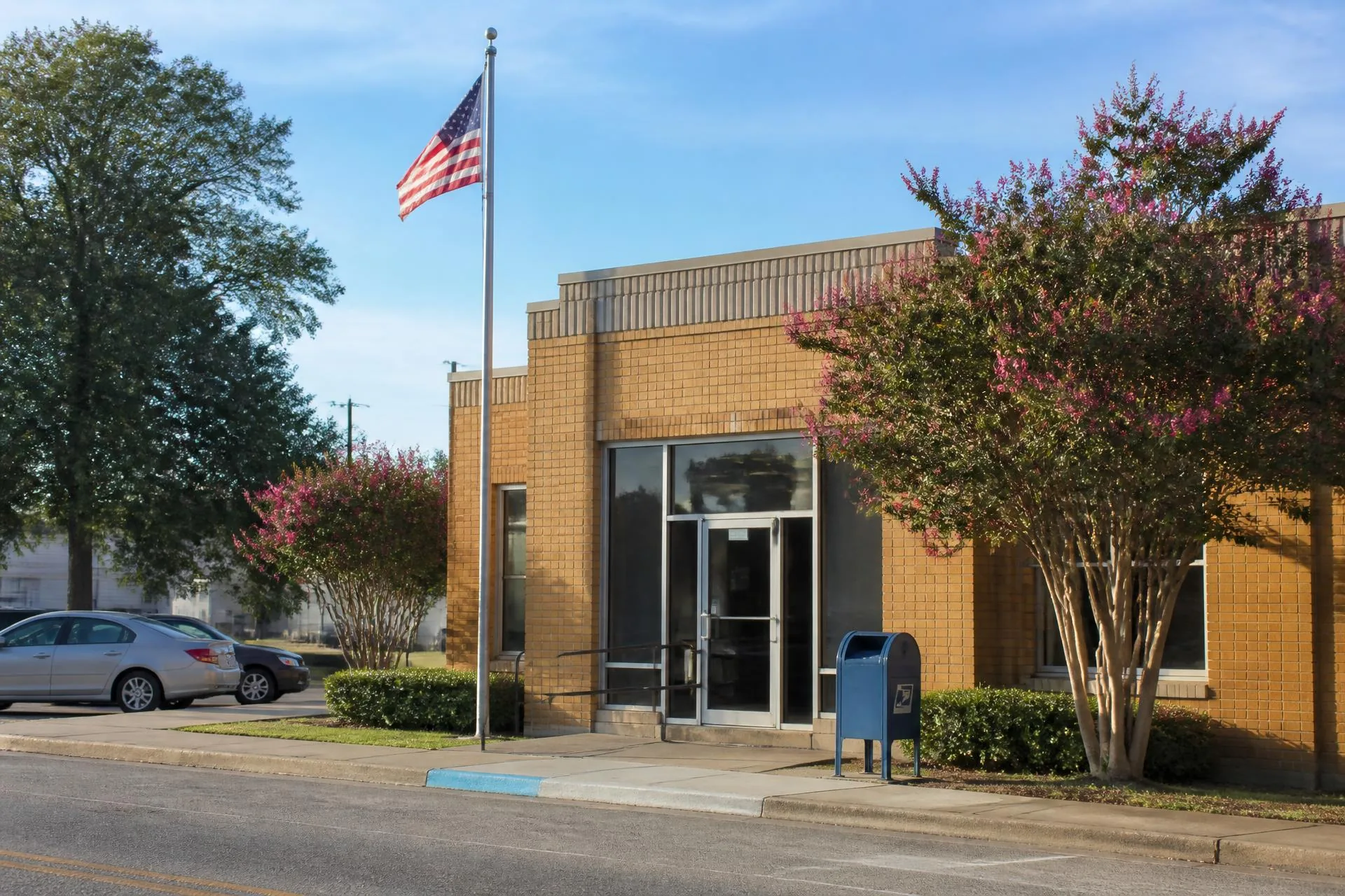
Union County, North Carolina
28173 — Waxhaw
The corridor's flagship ZIP: historic downtown Waxhaw plus the densest cluster of gated estate communities in the Charlotte metro.
Population
≈ 38,000 in the delivery area
Median Price
≈ $1.05M median sale price
County
Union County, North Carolina
28173 is the ZIP code most buyers mean when they search for Waxhaw. It is considerably larger than the town limits: the delivery area sweeps west toward Providence Road, south to the state line, and east along the Waxhaw–Monroe corridor, which is why a mailing address in 28173 can sit inside the town, inside Mineral Springs, or in unincorporated Union County with no municipal services at all.
That geographic spread is the single most useful thing to understand about the ZIP. Two homes sharing 28173 can differ by school catchment, tax jurisdiction, water and sewer availability, and several million dollars in price. The ZIP is a postal convenience, not a planning boundary — but it remains the unit most listing portals, insurance quotes, and relocation packets organize around.
Inventory here spans the widest band in the corridor. Restored cottages two blocks from the rail line trade in the mid-hundreds; custom estates on five gated acres inside Skyecroft, Longview, or Providence Downs South regularly clear four million. Between those poles sit the amenity subdivisions — Millbridge, Hunter Oaks, Cureton, Lawson — that absorb most of the family relocation volume moving south out of Charlotte.
What the 28173 delivery area covers
- ✦Downtown Waxhaw historic district
- ✦Unincorporated Union County west and south of town
- ✦A thin edge reaching toward the Lancaster County, SC line
Housing Stock
What 28173 buys.
- Estate and gated tier
- One to five acre custom builds behind gates. Skyecroft, The Club at Longview, Providence Downs South and Stratford Hall anchor this band, generally $1.4M and up.
- Amenity subdivisions
- Pool, court, and trail communities on quarter to half acre lots. Millbridge, Hunter Oaks, Lawson and Cureton, generally $550K to $1.4M.
- Historic core
- 1900s–1940s cottages and bungalows within walking distance of Main Street. Smallest lots in the ZIP and its only genuinely walkable housing.
- Unrestricted acreage
- Multi-acre parcels on the western and southern edges, typically bought for custom builds, barns, or small equestrian operations.
Schools
School assignment in 28173.
- Every 28173 address is served by Union County Public Schools. Catchment — not ZIP — determines the assignment, and the ZIP splits across the Marvin Ridge, Cuthbertson, and Parkwood attendance areas.
- Cuthbertson High and Cuthbertson Middle draw most of the central and eastern portion of the ZIP; Marvin Ridge High serves the northwestern edge nearest Marvin and Weddington.
- Because catchment lines have been redrawn repeatedly as the county has grown, verify assignment by parcel address with the district rather than assuming based on a neighboring street.
Commute distances.
| Destination | Distance & typical drive |
|---|---|
| Uptown Charlotte | ≈ 27 miles. 40–50 minutes off-peak via Providence Road; 60–75 minutes in a heavy morning peak. |
| Ballantyne | ≈ 12 miles. 20–28 minutes via Providence Road or Rea Road. |
| SouthPark | ≈ 19 miles. 30–40 minutes, most of it on Providence Road. |
| Charlotte Douglas (CLT) | ≈ 32 miles. 40–50 minutes via NC-16 and I-485. |
Build a door-to-door estimate for any origin and destination with the commute time finder.
Everyday practicalities.
- ✦Grocery and daily retail concentrate on the NC-16 / Providence Road corridor at the north end of the ZIP, plus the Cureton town center.
- ✦Atrium Health and Novant maintain urgent care and outpatient offices inside the ZIP; the nearest full hospitals are in Waxhaw's adjacent markets and south Charlotte.
- ✦Municipal water and sewer stop well short of the ZIP's outer edges — well and septic remain common on acreage parcels.
- ✦Trash, recycling, and street maintenance differ inside town limits versus unincorporated pockets sharing the same 28173 mailing address.
Inside 28173
Communities in this ZIP code.
Skyecroft
Waxhaw
A gated Scottish-inspired estate community on rolling pasture.
The Club at Longview
Waxhaw
Carolinas' premier Jack Nicklaus Signature golf community.
Providence Downs South
Waxhaw
A gated equestrian estate community along Providence Road.
Hunter Oaks
Waxhaw
A classic Waxhaw family community with pools, tennis, and trails.
Lawson
Waxhaw
A master-planned community along the Waxhaw–Monroe corridor.
Cureton
Waxhaw
A walkable village-style neighborhood with town center retail.
Millbridge
Waxhaw
An outdoors-driven community with a private fitness retreat.
Stratford Hall
Waxhaw
A boutique community of brick-front custom estates.
Questions
28173 questions, answered.
- What city is ZIP code 28173?
- 28173 is the Waxhaw, North Carolina ZIP code. Its delivery area extends well beyond Waxhaw town limits into Mineral Springs and unincorporated Union County, so a 28173 mailing address does not by itself confirm a property is inside the town.
- What county is 28173 in?
- Union County, North Carolina. A small southern portion of the delivery area approaches the Lancaster County, South Carolina line, but the ZIP itself is administered as Union County.
- What is the average home price in 28173?
- The median sale price in 28173 runs near $1.05M, among the highest of any ZIP in Union County. Range is wide — restored downtown cottages start in the mid-hundreds while gated estates on acreage exceed $4M.
- What schools serve 28173?
- Union County Public Schools. The ZIP splits across the Marvin Ridge, Cuthbertson, and Parkwood attendance areas, so assignment must be verified by parcel address rather than by ZIP.
- How far is 28173 from Charlotte?
- Roughly 27 miles to uptown Charlotte, a 40 to 50 minute drive off-peak and 60 to 75 minutes during a heavy morning commute. Ballantyne is far closer at about 12 miles.
Population and price figures are approximations compiled from U.S. Census Bureau delivery-area estimates and Canopy MLS sale data; distances and drive times from Google Maps. Figures move with the market and are published for orientation, not as a substitute for current professional data. School catchments must be verified by parcel address with the assigning district.