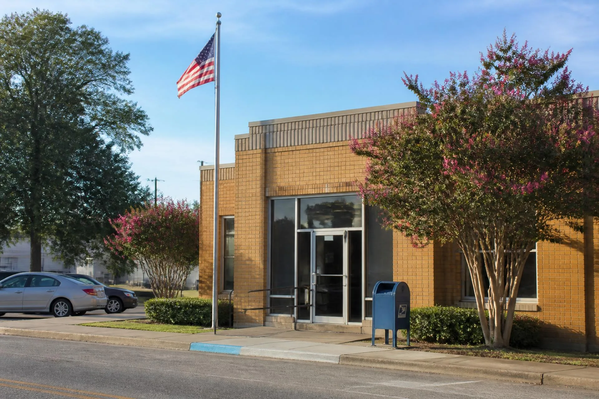
Lancaster County, South Carolina
29707 — Indian Land / Fort Mill, SC
The South Carolina side of the corridor: lower property taxes, newer inventory, and a ten-minute drive to Ballantyne.
Population
≈ 40,000 in the delivery area
Median Price
≈ $525K median sale price
County
Lancaster County, South Carolina
29707 sits directly across the state line from Waxhaw and Marvin, and it is the single most common alternative corridor buyers evaluate. The draw is arithmetic: South Carolina's owner-occupied property assessment ratio produces materially lower annual tax bills than comparable North Carolina addresses, and the drive to Ballantyne employment is often shorter than from Waxhaw.
The Indian Land panhandle absorbed a decade of concentrated development along US-521, producing large master-planned communities, active-adult sections, and a retail spine that continues to expand. Inventory is newer on average than anything in Union County.
Trade-offs are real. Lancaster County school assignment differs entirely from Union County Public Schools, US-521 congestion has grown with the rooftops, and the panhandle's county services are administered from Lancaster, forty minutes south.
What the 29707 delivery area covers
- ✦Indian Land panhandle of Lancaster County
- ✦Portions of the Fort Mill mailing area
- ✦The US-521 growth corridor south of Ballantyne
Housing Stock
What 29707 buys.
- Master-planned communities
- Large amenity communities along US-521 with pools, clubs, and trail systems, generally $450K to $900K.
- Active adult
- A substantial 55+ segment — one of the largest concentrations in the metro — typically $400K to $700K.
- Custom and estate
- Smaller pockets of custom construction on larger lots reaching $1M to $2.5M, often chosen by buyers cross-shopping Marvin.
- Attached
- Townhome product near the retail corridor, generally $330K to $475K.
Schools
School assignment in 29707.
- Lancaster County School District serves 29707 through the Indian Land elementary, middle, and high campuses.
- The Indian Land schools are newer than most Union County facilities but operate under a different state accountability system, which makes direct rating comparisons with North Carolina schools unreliable.
- Families cross-shopping 28173 and 29707 should compare specific campuses rather than statewide rankings, since the two states score differently.
Commute distances.
| Destination | Distance & typical drive |
|---|---|
| Ballantyne | ≈ 6 miles. 12–18 minutes via US-521 — the shortest employment-center commute in the greater corridor. |
| Uptown Charlotte | ≈ 20 miles. 32–42 minutes off-peak; US-521 peak congestion can add 20 minutes. |
| Waxhaw | ≈ 11 miles. 18–25 minutes east on NC-75 / Kershaw-Camden Highway. |
| Charlotte Douglas (CLT) | ≈ 25 miles. 32–42 minutes via I-485. |
Build a door-to-door estimate for any origin and destination with the commute time finder.
Everyday practicalities.
- ✦US-521 carries nearly all grocery, medical, and retail services for the panhandle, with continued commercial construction.
- ✦Novant Health and Atrium Health both operate outpatient facilities in the panhandle; full hospital care is in Ballantyne, Pineville, or Fort Mill.
- ✦South Carolina vehicle registration, income tax, and property assessment rules apply — a meaningful annual difference from Union County.
- ✦Anne Springs Close Greenway in nearby Fort Mill is the region's largest privately managed nature preserve.
Questions
29707 questions, answered.
- What city is ZIP 29707?
- 29707 covers Indian Land and part of the Fort Mill mailing area in Lancaster County, South Carolina, immediately south of Ballantyne and west of Waxhaw.
- Is it cheaper to live in Indian Land SC than Waxhaw NC?
- Generally yes on carrying costs. South Carolina's owner-occupied assessment ratio produces lower annual property tax bills than comparable North Carolina addresses, and the median sale price in 29707 runs below 28173's.
- What schools serve 29707?
- Lancaster County School District, through the Indian Land campuses. This is an entirely different system from Union County Public Schools, so North Carolina school ratings do not transfer.
- How far is Indian Land from Waxhaw?
- About 11 miles, an 18 to 25 minute drive on NC-75 and Kershaw-Camden Highway across the state line.
Population and price figures are approximations compiled from U.S. Census Bureau delivery-area estimates and Canopy MLS sale data; distances and drive times from Google Maps. Figures move with the market and are published for orientation, not as a substitute for current professional data. School catchments must be verified by parcel address with the assigning district.